Do I have to set up the Raspberry Pi?
Not if you choose Ready-to-Fly — we assemble the kit, flash your card, and test it on a real TV before it ships. If you order the kit yourself there's no coding either: plug our flashed card in, connect HDMI and power, join Wi-Fi from your phone.
Which board — 4K or HD?
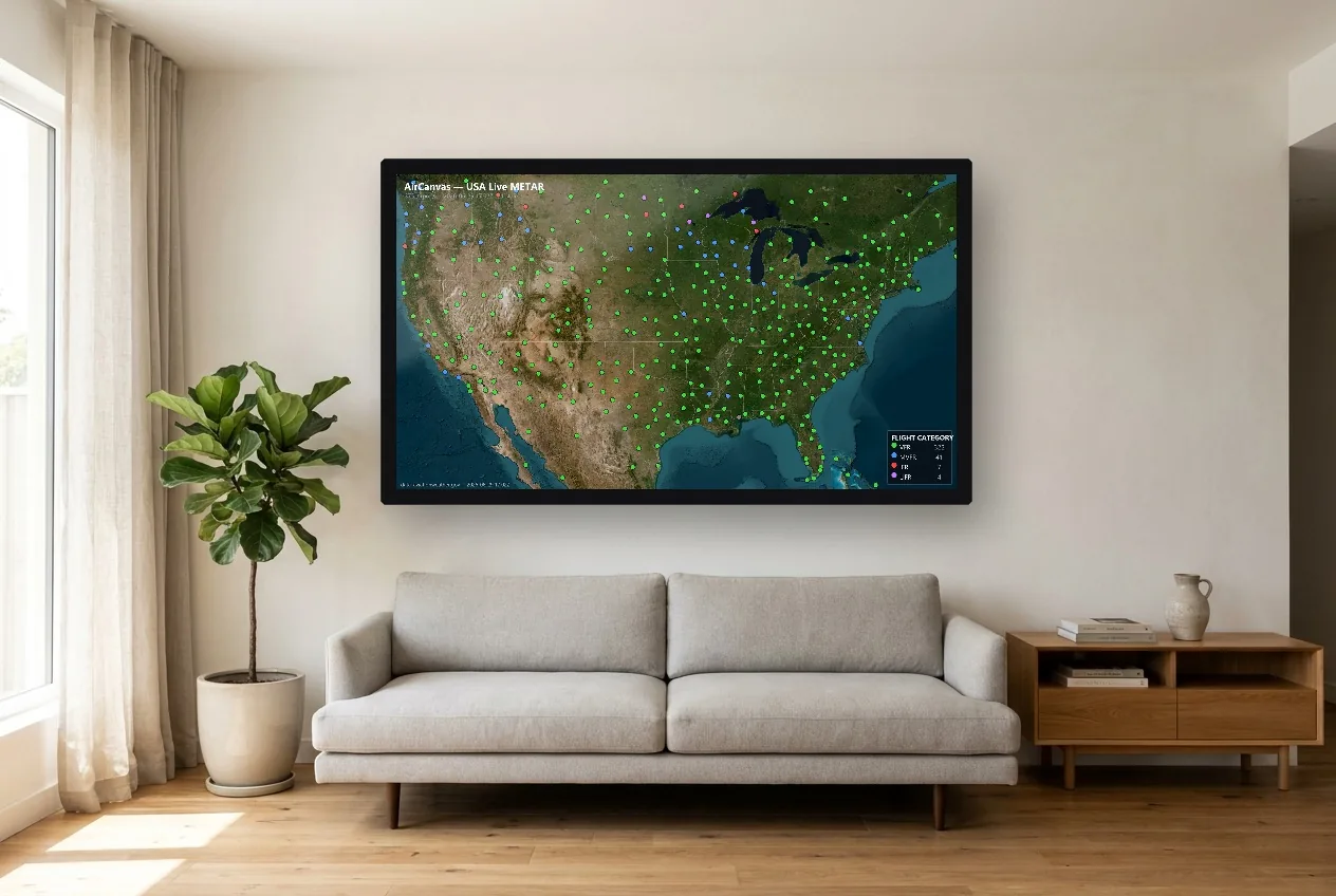
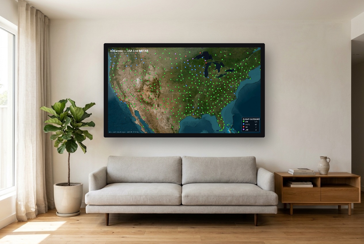
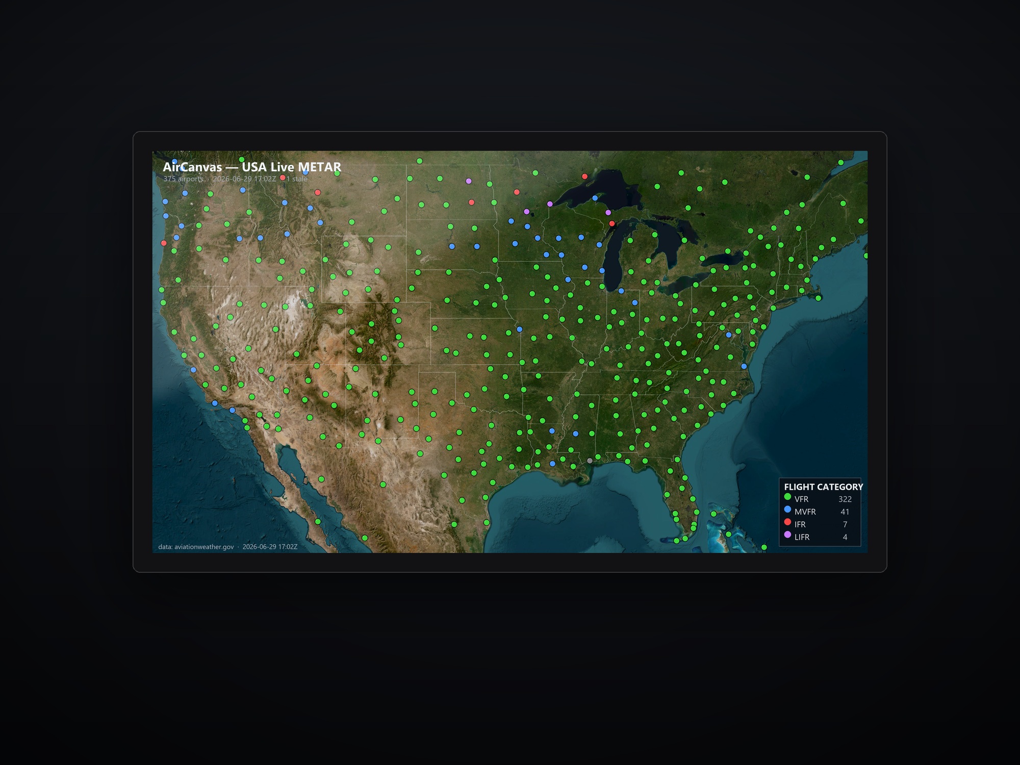
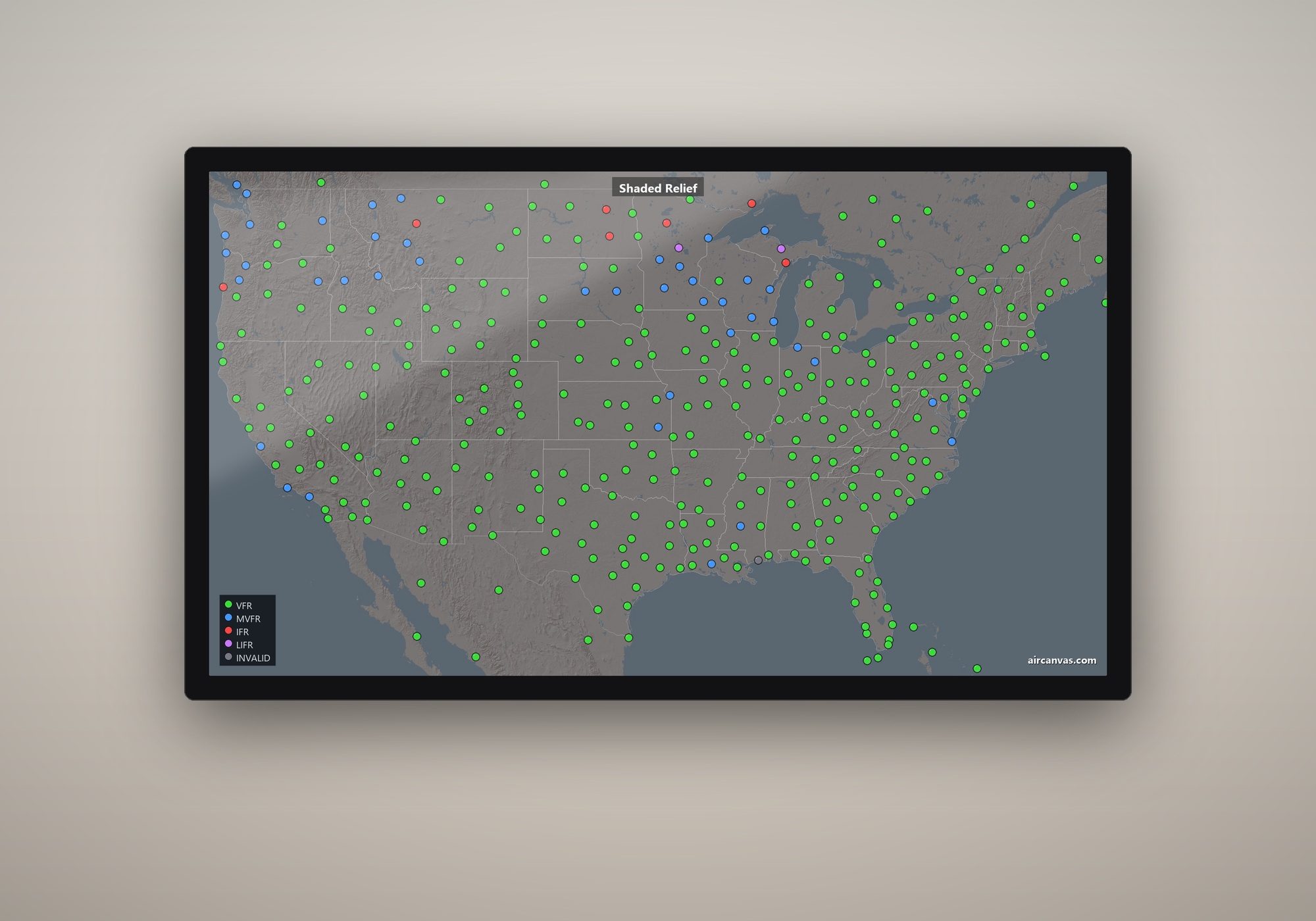
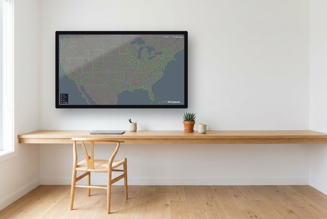
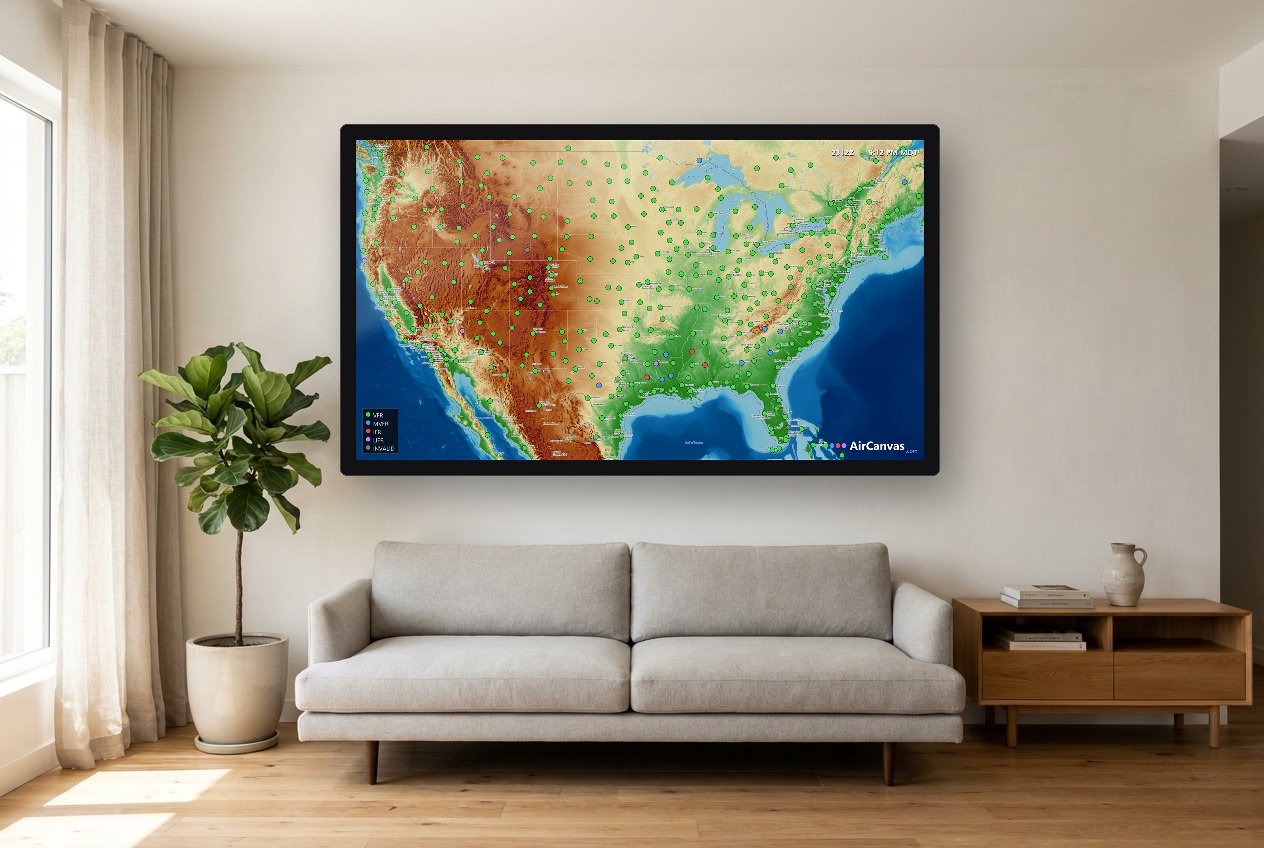
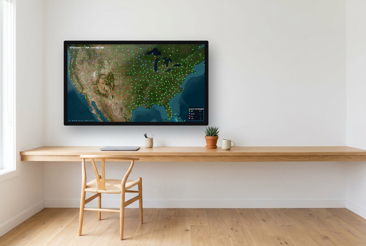
Every map renders in 4K. The 4K Pi 5 shows that in full — every line on a detail-dense sectional stays razor-sharp on a large or 4K TV. The HD Zero 2 W outputs a crisp 1080p downscaled from the same 4K master: sharp and great-looking on any TV, just not the full 4K detail on a big screen.
What's in the kit?
A complete starter kit: board, case, power supply, cooler/heatsink, and the right HDMI cable/adapter — nothing to source separately (the Zero 2 W kit also needs a standard HDMI cable). Plus the AirCanvas card we mail you.
What is Ready-to-Fly, exactly?
We buy the same complete kit at cost, assemble it, flash & test your card on a real TV, and ship you a working unit. You pay the parts price we pay + $50 to build and test + shipping. We don't mark up parts and we don't carry inventory.
What does the $99 pay for?
Your AirCanvas card — flashed, tested and mailed — plus activation. It's a one-time setup; after that you just pay your plan. The card isn't free; the $99 is what it costs.
Does the board affect the map itself?
No. Maps and weather are rendered in the cloud in 4K — the board just displays them. A Pi 5 shows native 4K; a Zero 2 W shows a crisp 1080 downscaled from that 4K. It only affects output resolution, never the map data.
What TV do I need?
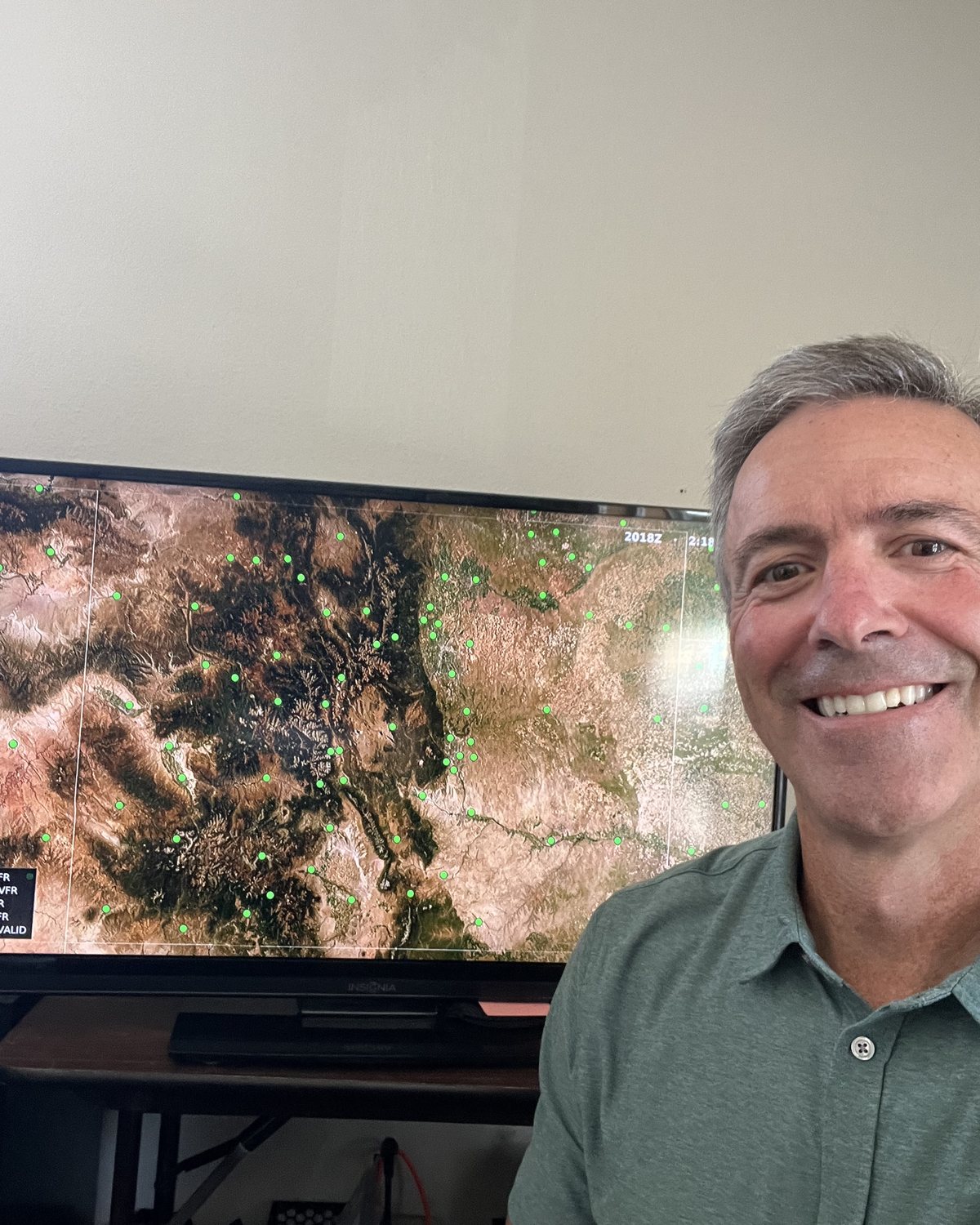
Any HDMI TV or monitor, any size — same price. For sectionals on a large screen 4K looks markedly better, and above 43″ nearly every TV sold is 4K anyway.
The edges look cut off / I can't see the legend?
That's your TV's overscan — many TVs zoom the picture a few percent and clip the edges. Set the picture size to its 1:1 mode (LG "Just Scan," Samsung "Screen Fit," Sony "Full Pixel," others "Dot by Dot / Native") for the full edge-to-edge map. The legend and clock sit in a safe zone, so they stay visible even if you don't change a thing.
How do I sign in — or back in if I sign out?
No password. Log in with the Map ID shown on your TV plus the email you set up with, at aircanvas.bolderaviation.com/app. As long as you can see the Map ID (or have your setup card), you're back in.
Do I pay extra per airport?
Never. Every reporting airport on your map is included free. Aviator and Command let you add up to 25 of your own on top — no per-airport fees like the LED maps charge.
Can I change my location later?
Anytime, from your phone — that's the whole point. You're not buying one frozen map. Locations are interchangeable; pick any of the 60+ we offer.
Is this a legal weather briefing?
No — like every METAR map, it's for situational awareness and enjoyment, not a substitute for an official preflight briefing.